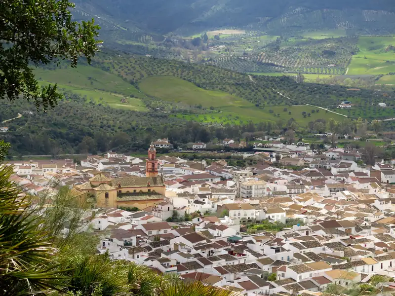
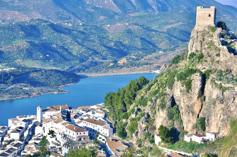
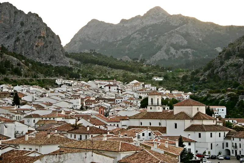
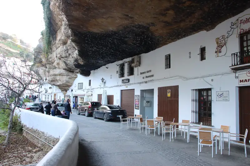
Algodonales is a white town of 5,425 people at the foot of the Sierra de Líjar, about 25 km from Setenil and 42 km from Ronda. It is best known for paragliding and hang gliding off the Líjar ridge, which hosted a Paragliding World Cup event in 2025. In town, see the Santa Ana church and the fountains.
Algodonales is the white town under the Sierra de Líjar, and people come here to fly. The Junta de Andalucía’s tourism site says it is internationally famous for the paragliding conditions on the ridge above it, and on a good day you see the wings circling with the vultures. The town has 5,425 people (INE, 2025) and sits at about 370 m, about 25 km from Setenil de las Bodegas and about 42 km from Ronda.
It is also the northern gateway to the Sierra de Grazalema Natural Park, 9 km from Zahara de la Sierra.
Paragliding on the Sierra de Líjar
The Sierra de Líjar is the ridge that rises straight behind the town. The Junta’s tourism site calls it one of the best international flying areas and says thousands of pilots from all over Europe come every year, for easy road access, good take-off and landing areas and a climate that allows flying most of the year. Superlatives aside, the record backs it up. The Junta lists World Air Games, World Hang Gliding Championships and Spanish and Andalusian championships among the events held here, and in May 2025 the Paragliding World Cup opened its season in Algodonales, with more than 120 pilots registered, according to Cross Country magazine.
The main launch is high above the town. The Junta’s listing for the flying station gives a drop of 415 m for paragliders and 648 m for hang gliders, with a weather station and windsock at the top and a viewpoint with tables and some shade. There is no car park, only room for seven or eight cars along the access road. The paragliding landing field is beside the bullring at the edge of town.
When to fly. According to the same listing, the best months are autumn, winter and spring. Summer air is strong enough that it needs an advanced level, which matters for pilots more than passengers.
Tandem flights. You do not need any training to fly as a passenger. The Junta says several local active-tourism companies offer tandem flights with an experienced pilot, lasting about half an hour, and that you may share the air with griffon vultures, Bonelli’s eagles and peregrine falcons. If you want to book ahead online, one tandem flight on GetYourGuide is filed under Algodonales; the operator chooses the flying site and time each day by the weather and confirms 24 to 48 hours ahead. It had a 3.9 rating from 10 reviews when checked, including one no-show, so read the recent reviews first.
La Muela and the vultures
You do not have to fly to enjoy the ridge. Cádiz’s tourism board suggests the hamlet of La Muela, from where you can watch griffon vultures riding the air over the Líjar peaks.
The town
Algodonales stretches up the slope in the usual white-village pattern, with streets of orange trees. Cádiz’s tourism board counts twelve fountains, among them the Fuente del Algarrobo, and their sound follows you round town. The main monument is the parish church of Santa Ana, which Cádiz’s tourism board describes as late Baroque with neoclassical elements. The Junta’s tourism site dates its founding to 1784, on the site of the first parish church.
Cádiz’s tourism board also lists the hermitages of Jesús Nazareno and La Virgencita in town, and on the outskirts the 18th-century hermitage of La Concepción and old flour mills.
The story of Algodonales
People lived here long before the town. The Junta’s tourism site points to Neolithic remains in the Santa, Chamusquina and Castillejo caves. The town itself began in the early 16th century, when families from Zahara moved down to farm the fertile, well-watered land below the ridge. Its name comes from the cotton (algodón) grown nearby.
Its worst year was 1810. During the Peninsular War French troops sacked and burned the town; Spanish Wikipedia says almost a tenth of the population died, and the town’s coat of arms shows a burning house. The Junta says Algodonales was granted the status of a separate town afterwards in recognition of its resistance. Today the town re-enacts the events of 2 May 1810, and at Corpus Christi it fills the Plaza de Santa Ana with flowers, according to Cádiz’s tourism board.
Algodonales with Setenil, Olvera and Zahara
Algodonales sits in the middle of the white villages closest to Setenil, which makes it an easy add-on to a day you are already driving.
| From Algodonales to |
Distance |
Time (checked October 2026) |
| Setenil de las Bodegas |
About 25 km |
About 40 minutes |
| Ronda |
About 42 km |
About 45 minutes |
| Zahara de la Sierra |
About 9 km |
About 15 minutes |
| Olvera |
About 19 km |
About 20 minutes |
| Grazalema |
About 26 km |
About 35 minutes |
| Seville centre |
About 91 km |
About 1 hour 20 minutes |
Distances are from the OpenStreetMap router, rounded for country roads.
A simple loop from Setenil: Olvera for its castle in the morning, Algodonales for lunch and a look at the paragliders, then Zahara de la Sierra and its reservoir in the afternoon. With more time, carry on over the pass to Grazalema. The white villages route sets out the full loop from Ronda.
Getting there
From Setenil, minor roads (the CA-9113, CA-9111 and CA-9109) lead west to the A-374, which runs into Algodonales. From Ronda, follow the A-374 north for about 42 km. From Seville, the A-375 and A-384 bring you to the town, about 91 km from the city centre.
If you plan to stay nearby, Setenil is 40 minutes away: see the Setenil hotels guide, or where to stay in Ronda for a bigger base.